
HuaCe Unmanned Surface Vehicle
CHNAV Unmanned Surface Vessel
Huace Navigation's unmanned boat series integrates high-precision positioning, autonomous navigation, and intelligent control to deliver efficient and safe waterborne solutions for surveying, hydrology, research, and other industries.
Ocean Software Products
Marine Software Products
Marine data processing and mapping software, including bathymetric data processing, sonar image analysis, and marine GIS systems. Delivers comprehensive marine data solutions.
Core Advantages
HuaCe's unmanned boats deliver a reliable intelligent water operations platform, powered by technological innovation and deep industry expertise.
High-precision positioning
Centimeter-level GNSS positioning with RTK/PPK support
Smart Control
Autonomous path planning, automatic obstacle avoidance, remote control
Lightweight and efficient
Carbon fiber hull, single-person operation, rapid deployment
Industry Solutions
Multi-scenario coverage for surveying, hydrology, research, and security
Ocean Software Products
Marine Software Products
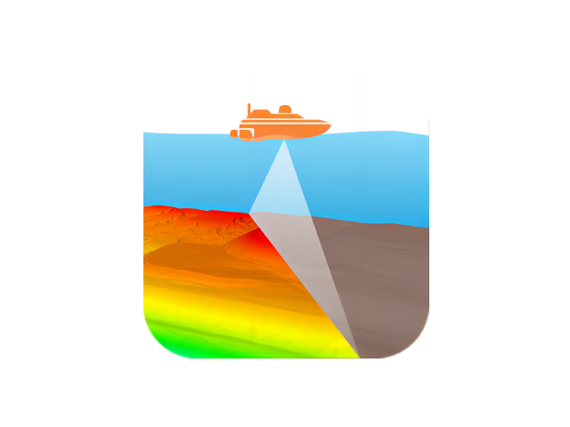
CMS Multibeam Acquisition and Post-Processing Software
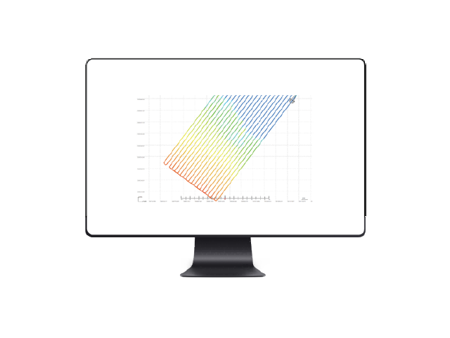
Qinsy Multibeam Software
Use Cases
HuaCe unmanned boats are widely used across multiple industries, providing customers with professional solutions.
River Surveying
High-precision underwater topography surveying to generate 3D riverbed models.
Hydrological Survey
ADCP Flow Measurement: Automated Cruise and Hover Operations
Research Experiment
University and Research Institution Water-based Experimental Platforms
Engineering Surveying
Reservoir, Lake, and Marine Engineering Surveying
Need a professional unmanned surface vehicle (USV) solution?
The Huace Navigation professional technical team provides one-on-one consulting to customize unmanned vessel application solutions for you.