HuaCe Unmanned Surface Vehicle
HomeProduct CenterHuaCe Unmanned Surface Vehicle

HuaCe Unmanned Surface Vehicle

CHNAV Unmanned Surface Vessel

Huace Navigation's unmanned boat series integrates high-precision positioning, autonomous navigation, and intelligent control to deliver efficient and safe waterborne solutions for surveying, hydrology, research, and other industries.

Marine Surveying Products

Marine Survey Products

High-precision marine surveying equipment, including multi-beam echo sounders, side-scan sonars, and ocean positioning systems, for seafloor topography mapping and seabed geomorphology surveys.

Core Advantages

HuaCe's unmanned boats deliver a reliable intelligent water operations platform, powered by technological innovation and deep industry expertise.

High-precision positioning

Centimeter-level GNSS positioning with RTK/PPK support

Smart Control

Autonomous path planning, automatic obstacle avoidance, remote control

Lightweight and efficient

Carbon fiber hull, single-person operation, rapid deployment

Industry Solutions

Multi-scenario coverage for surveying, hydrology, research, and security

Marine Surveying Products

Marine Survey Products
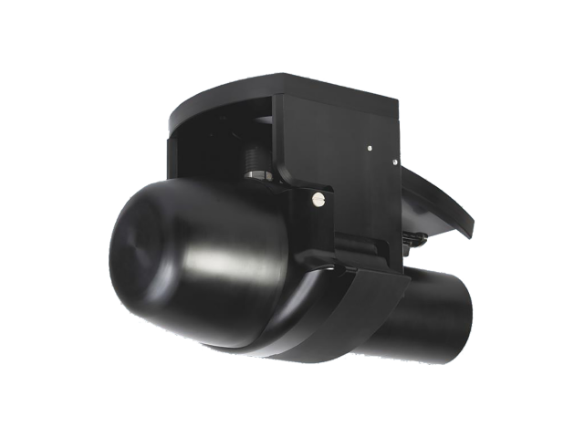
NORBIT Series Multibeam Sonar
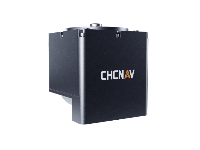
NORBIT Series Multibeam Sonar

Integrated designLightweightHigh Precision
Model
iWBMS, iWBMSh, STX, LR
Depth Range
Varies by model
Operating Frequency
Varies by model
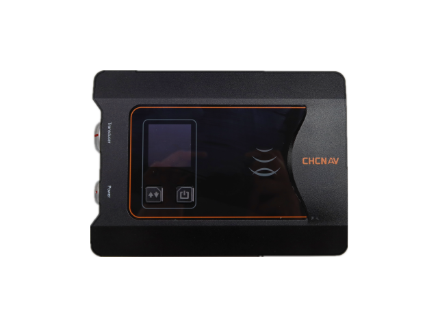
D390 Single-Frequency Sounder

D390 Single-Frequency Depth Sounder

Single-frequency depth sounderSuitable for various hydrological conditionsHigh-speed CPU clock frequency
Depth Range
0.15~300m
Depth measurement accuracy
±1cm + 0.1%h (h = water depth)
Resolution
1 cm
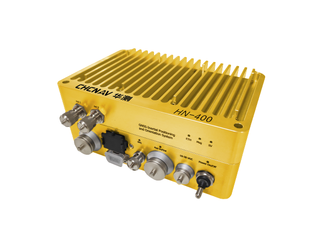
HN-400 integrated multibeam

HN-400 Integrated Multi-Beam

Integrated designLightweightHigh Precision
Depth Range
0.2-150m
Depth resolution
10mm
Depth Mode
Isometric, Equidistant
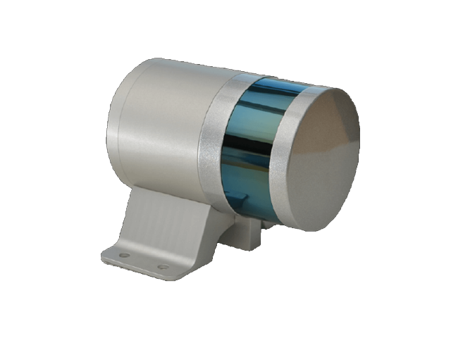
HA-200 Shipborne Laser Scanner

HA-200 Shipborne Laser Scanner

Shipborne 3D LiDARCompatible with HuaWei 6 unmanned boatIntegrated underwater and surface operations
Type
Ship-mounted 3D LiDAR Scanner
Platform
Huawei 6 unmanned boat or large vessel
Features
Waterborne Point Cloud Data Acquisition
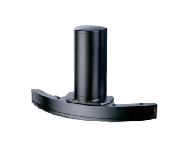
WINGHEAD Multibeam

WINGHEAD Multibeam

High-Resolution MultibeamCompactLow power
Type
High-Resolution Multibeam Echo Sounder System
Precision
Meets higher accuracy requirements
Volume
Compact
iWBMS X Multibeam Echo Sounder

iWBMS X Multi-beam Echo Sounder

Ultra-compact broadband multi-beamModular PlatformHigh system accuracy
Type
Ultra-compact broadband multi-beam sonar
Platform
Modular Platform
Features
Highly flexible
D270 Portable Depth Finder

D270 Portable Depth Finder

Portable designLinux Operating SystemMobile Web Parameter Settings
Data Type
Huace format, NMEA SDDPT/SDDBT, and raw waveforms
Operating System
Linux
Web Page
Supports PC and mobile web
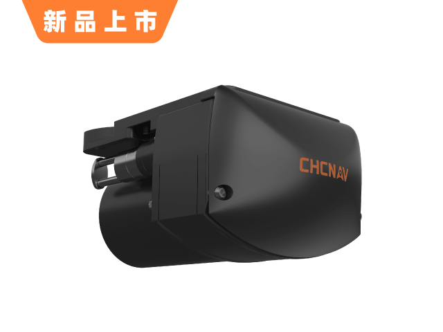
HQ-400 Integrated Compact Multibeam

HQ-400 Integrated Compact Multibeam

Integrated compact designNo-install calibrationSupports small unmanned platforms
Depth Range
0.2-150m
Depth resolution
10mm
Depth Mode
Isometric, Equidistant
D60 Dual-Frequency Depth Sounder

D60 Dual-Frequency Sounder

Minimalist integrated designCompactCompatible with HuaWei 4 unmanned boat
Operating Frequency
High Frequency 200kHz
Depth Range
0.2~250m@200kHz
Depth measurement accuracy
±1 cm + 0.1%h, resolution 1 cm @ 20 kHz
HN-400M Multibeam Echo Sounder System

HN-400M Multibeam Echo Sounder System

Smart Dual-Band SwitchingHigh-precision inertial navigation and stabilizationLightweight integration, easy deployment
Maximum sweep width coverage
145°
Number of receive beams
512
Transmit beamwidth along the track
1.45°

Use Cases

HuaCe unmanned boats are widely used across multiple industries, providing customers with professional solutions.

River Surveying

High-precision underwater topography surveying to generate 3D riverbed models.

Hydrological Survey

ADCP Flow Measurement: Automated Cruise and Hover Operations

Research Experiment

University and Research Institution Water-based Experimental Platforms

Engineering Surveying

Reservoir, Lake, and Marine Engineering Surveying

Need a professional unmanned surface vehicle (USV) solution?

The Huace Navigation professional technical team provides one-on-one consulting to customize unmanned vessel application solutions for you.

Beijing ICP License No. 2026026760