Huaying Technology - Surveying Equipment & Industry Solutions Provider
High-Performance Computing & AI Servers
Inspur AI servers, Lenovo ThinkSystem, Huawei Atlas, and NVIDIA GPUs delivering AI, deep learning, and big data analytics solutions.
Industry-Grade Drones and Payload Platforms
DJI Matrice, Autel EVO II, and South Surveying & Mapping UAVs: Multi-dimensional solutions for aerial surveying, inspection, emergency rescue, and public safety.
Bionic Robots and AI Systems
Unitree quadruped and humanoid robots: autonomous decision-making, human-robot interaction, and SLAM-based scene adaptation.
Optical Transmission and Data Communication Equipment
Huawei optical transmission, H3C data networking, and ZTE transmission: High-speed, stable, low-latency solutions
High-Precision RTK and 3D Surveying
Huace Navigation i90/i50, Ceres handheld SLAM: Integrated data acquisition, processing, and mapping
Strategic Partner Brands









Full Product Line
Covers multiple domains including drones, surveying instruments, communication equipment, and IT infrastructure.
Unitree Series
Quadruped Robots / Embodied AI
Load 3-15kg | Battery Life 2-4h | IP67 Protection
DJI Series
Industry Drones / Flight Platforms
Flight time 55min | Wind resistance 12m/s | RTK accuracy 2cm
Autel Series
EVO Series Drones
Flight Time: 42min | Video Transmission: 15km | 6K Video
Huace Navigation Series
RTK/Surveying Terminal
Precision 8mm+1ppm | Battery Life 12h | Inertial Navigation
Saier Surveying Series
Handheld SLAM / 3D Measurement
Point Cloud Accuracy: 1cm | Scan Radius: 80m
Huawei Series
Server/Communication Equipment
Kunpeng 920 | 256 Cores | 10 0GE Ports
H3C Series
Network Devices / Security
400G Swap | 4000 Concurrent Connections | AI Operations
Wave Series
AI Server/Storage
8 GPU Cards | 2.5PB Storage | Liquid Cooling
ZTE Series
Optical Transmission / Data Communications
80 0G WDM | 40 0G OTN | 1+1 Protection
Lenovo Series
ThinkSystem/Compute
4th Gen Xeon | 6TB Memory | HPC
Service Industry
Deep expertise across key industries with tailored, professional solutions.
Government
Public Healthcare
Energy & Oil & Gas
Education & Research
Transportation
Hydropower and Water Conservancy
Forestry & Environmental Protection
Construction Engineering
Manufacturing
Finance
Business
Surveying and Mapping
Inspection
Case Studies
Over 500 Successful Projects Demonstrating Our Expertise and Earning Customer Trust

Drone-Based Aerial Survey for a Provincial Mapping Institute
Customer:Provincial Surveying and Mapping Institute
Powered by DJI M300 RTK + P1 camera to complete 500 sq km high-precision aerial survey tasks with planar accuracy better than 5 cm and vertical accuracy better than 10 cm.
View details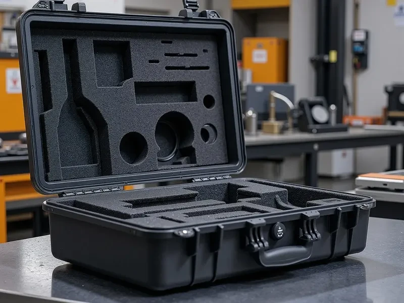
Power Line Inspection Drone Solution
Customer:Power Company of a Certain Province
Deploy Unitree Go2 quadruped robots with drones for collaborative inspection of substations and transmission lines, improving inspection efficiency by 300%.
View details
Procurement of Surveying and Mapping Teaching Equipment for Universities
Customer:50+ universities
Provides Huace Navigation RTK equipment to 50+ universities, supporting surveying and mapping professional training and talent development.
View detailsIndustry Insights & Technical Whitepapers
With 20 years of industry expertise and experience serving 1,000+ clients, we deliver professional research insights to support data-driven decision-making and provide technical guidance for the industry.
2025-03
Analysis of the 2025 China Industry UAV Market Size
Based on surveys of 120 domestic industry users, this report analyzes application trends and market growth potential for drones in surveying & mapping, inspection, and emergency response.
Key Findings:
- The industry drone market size is projected to reach 380 billion yuan in 2025, with a compound annual growth rate of 18.5%.
- Surveying and mapping accounts for the highest share at 35%, followed by power inspection at 22% and emergency rescue at 15%.
Research Methodology:Combined quantitative surveys and qualitative interviews, with samples covering major regions including East China, South China, and North China.
Data Source:Data source: Huaying Technology 2025 Industry Research Report, sample size N=120, confidence level 95%
2025-01
Efficiency Evaluation of Quadruped Robots in Power Inspection
Compare efficiency, cost, and safety metrics of traditional manual inspections, drone inspections, and quadruped robot inspections in substation scenarios.
Key Findings:
- Quadruped robots improve inspection efficiency by 300% compared to manual labor, with each unit covering 20 substation bays per day.
- Defect identification accuracy reaches 95.2%, surpassing manual inspection at 82% and drone-based inspection at 88%.
Research Methodology:A comparative trial was conducted at 3 220kV substations over 6 months, with a total of 500+ inspections.
Data source:Data source: Joint test report by Huaying Technology and a provincial power company, testing period 2024.06-2024.12
2025-02
High-Precision RTK Surveying Equipment: Technology Evolution and Selection Guide
Trace the evolution of GNSS RTK technology from single-frequency to triple-frequency systems, and from base-station setups to PPP-RTK. Provide equipment selection recommendations for various application scenarios.
Key Findings:
- Compared to dual-frequency RTK, triple-frequency RTK reduces initialization time by 40% and improves fixed-solution stability by 25% in complex environments.
- PPP-RTK technology delivers centimeter-level accuracy without base station setup, ideal for large-scale linear engineering surveys.
Research Methodology:Based on lab tests and field measurements, we compare the performance of 8 devices from 5 leading brands.
Data Source:Data Source: Huaying Technology Product Center Test Report, Testing Standard GB/T 18314-2009
Citation:The data and conclusions in this report are suitable for industry research, market analysis, technology selection, and other scenarios. When citing, please attribute the source as "Huaying Technology Industry Research Report" and ensure the cited content is complete and accurate. For access to the full report or to explore commercial partnerships, please contact us.
Need a professional solution?
Our team of 60+ technical experts provides one-on-one consultations to design the perfect equipment solution for you.
Get in touch now