

Night mountain search by emergency rescue team in [Location]
Project Background
In mountainous areas with dense forests and steep slopes, communication signals are easily blocked in valleys. Low nighttime visibility further limits the speed of traditional ground searches using flashlights and voice calls. Commanders struggle to simultaneously track search team locations and real-time conditions on the ground. An aerial view that can be rapidly deployed and provides continuous observation in low-light conditions is needed.
Solutions
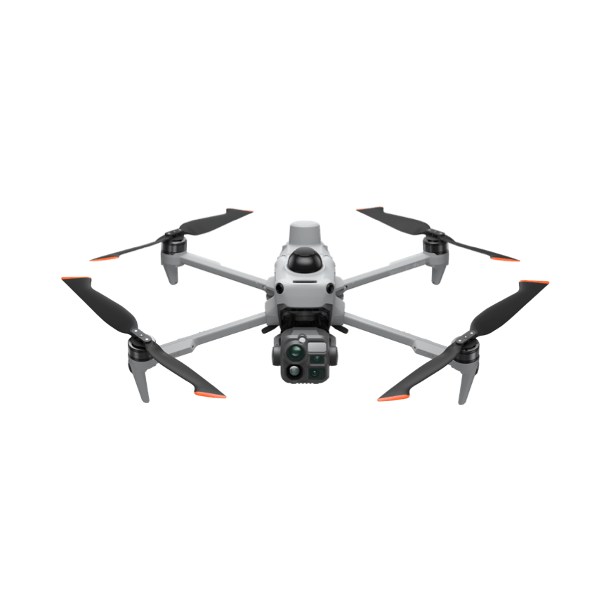
Upon reaching the assembly point, execute a segmented search mission with the DJI Matrice 5T: first conduct rapid sweeps of forest trails, ridges, and valleys using wide-angle and medium-telephoto lenses; then switch to thermal imaging and black-and-white night vision modes for systematic re-scanning. Super-resolution infrared imagery helps distinguish human heat signatures from terrain features. Once a suspicious target is detected, use laser rangefinding to measure distance and bearing. Maintain video transmission via relay in obstructed valley environments. Live footage is synced to the command post through Pilot 2 to define priority search zones and adjust ground team routes. The aircraft's IP55 protection rating and 12 m/s wind resistance enable continued operations in light rain and gusty conditions.
Use Device
DJI Matrice 5T × 2, DJI RC Plus 3 Pro × 2, Intelligent Flight Battery × 6
Implementation Results
Night operations shift from ground-level sweeps to aerial sector scanning with ground verification. Suspected heat signatures are instantly transmitted and marked at the command post, allowing ground teams to verify designated zones sequentially and reducing redundant travel. Video feeds from valley areas obscured by terrain continue to stream in, enabling commanders to adjust search priorities accordingly. Post-mission, all imagery and flight paths are archived for route optimization and team coordination reviews.
Have a similar project need?
Get in touch nowINDUSTRY SOLUTIONS
Public Safety EmergencyIndustry-specific Solutions
When it matters most, get both video and audio on the scene.。Emergency Command, Search and Rescue Reconnaissance, and Event Security。