
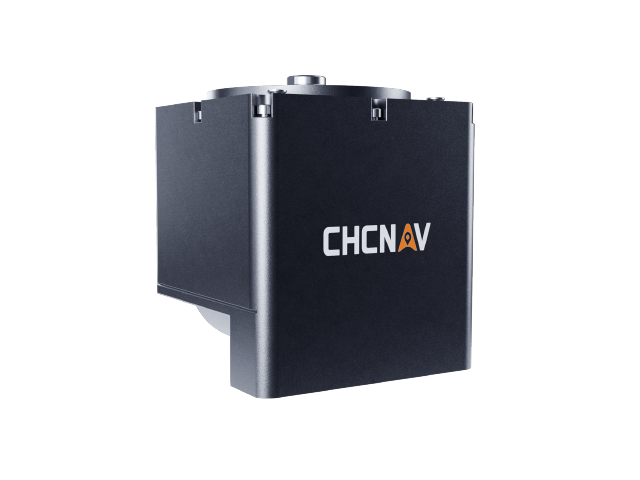
HQ-400 Integrated Compact Multibeam
Model:HQ-400
HQ-400 Integrated Compact Multibeam Sonar: Combines sonar, temperature sensors, attitude sensors, positioning systems, and compasses into a single unit. Its all-in-one design eliminates the need for installation calibration. The compact form factor enables easy mounting on small unmanned platforms, making it ideal for underwater terrain mapping in rivers, lakes, cross-section surveys, reservoir volume assessments, and channel scanning.
Specifications
Product Features
Integrates core sensors including sonar, temperature sensor, attitude, positioning, and compass.
Integrated design, no installation calibration required
Compact design for easy integration with small unmanned carrier platforms.
512 beam reception, up to 1024 beams supported
140° swath width for high measurement efficiency
Built-in stabilization for real-time roll stability at 10°.
Use Cases
River and lake topographic survey
River cross-section survey
Reservoir capacity measurement
Channel survey
Underwater Topographic Survey
Underside of unmanned surface vessel
Related Products
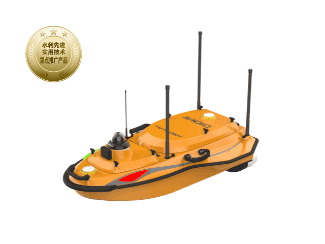
HuaWei 4 Pro Unmanned Surface Vehicle
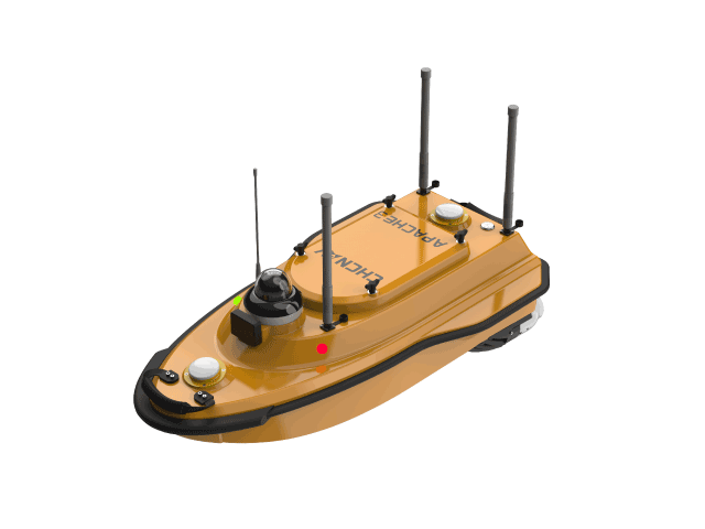
Huawei Autonomous Survey Vessel 3
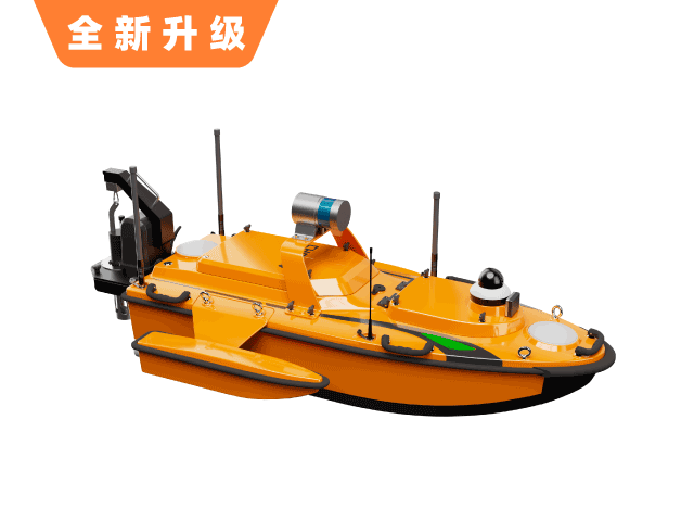
Huawei Autonomous Survey Vessel 6
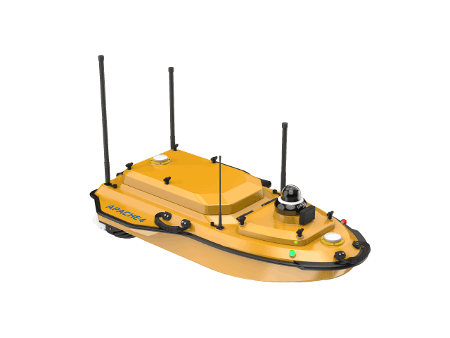
Huawei 4 Hydrographic Survey Vessel
Want to learn more?
Our professional team at CHC Navigation provides one-on-one consulting services.