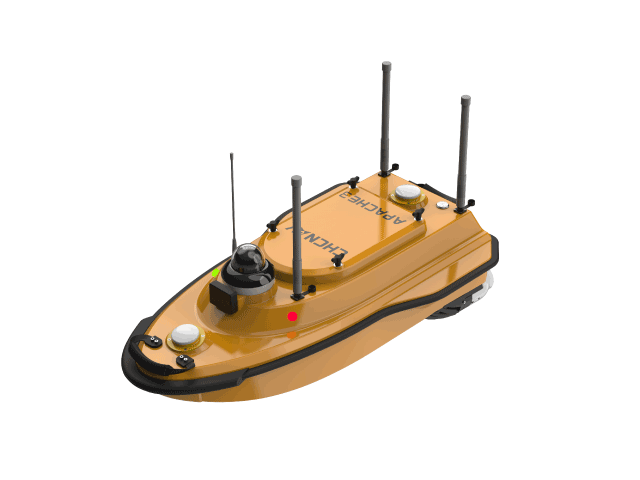
Huawei Autonomous Survey Vessel 3
Model:Huawei 3
The HuaWei 3 unmanned survey vessel delivers an efficient solution for hydrographic and scientific operations, integrating multi-beam bathymetry with 3D laser scanning to capture seamless underwater-to-surface 3D point clouds. Equipped with dual-antenna positioning and IMU attitude compensation, plus high-speed propulsion, it easily navigates under bridges and through complex waters. Paired with the EC10 Android smart controller and EasySail software, it enables unified workflow for route planning, data acquisition, and processing.
Multibeam Echosounding3D Laser ScanningDual-Antenna PositioningEC10 Android Remote
Specifications
Location
Dual-antenna RTK + IMU Attitude Compensation
Remote
EC10 Android Smart Remote
Software
EasySail
Assignments
Multibeam Echosounding + 3D Laser Scanning
Related Products
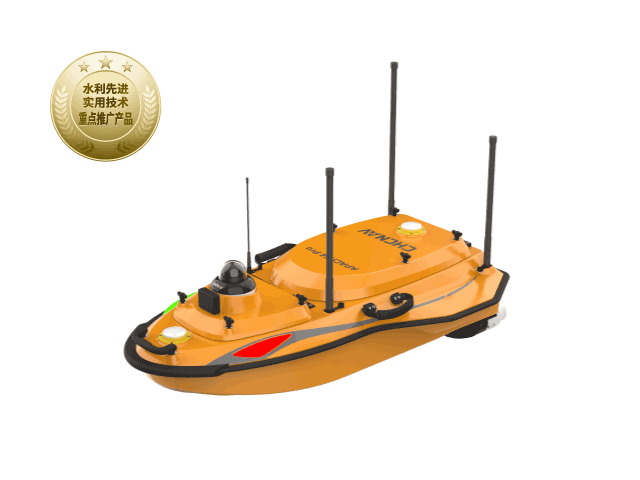
HuaWei 4 Pro Unmanned Surface Vehicle
Carbon fiber hullHybrid Hydraulic Conversion
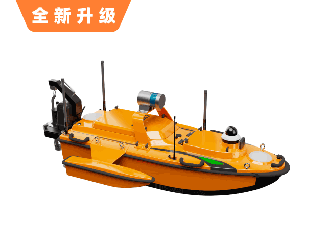
Huawei Autonomous Survey Vessel 6
Top Choice for University ResearchMillimeter-wave obstacle avoidance
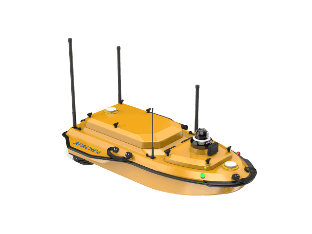
Huawei 4 Hydrographic Survey Vessel
Compatible with mainstream ADCPAuto-hover
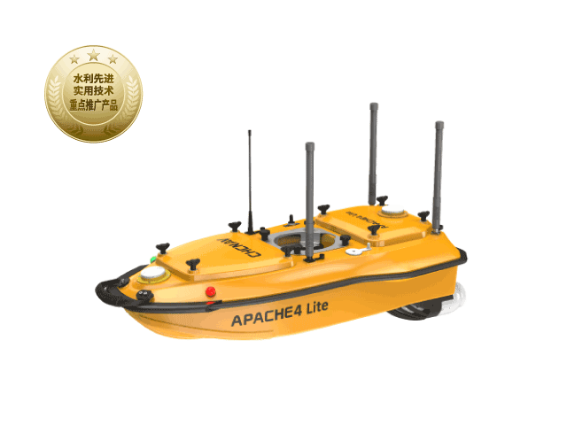
Huawei 4 Lite Hydrological Survey Unmanned Boat
Single-user operationMinimum flow 0.01m/s
Want to learn more?
Our professional team at CHC Navigation provides one-on-one consulting services.