
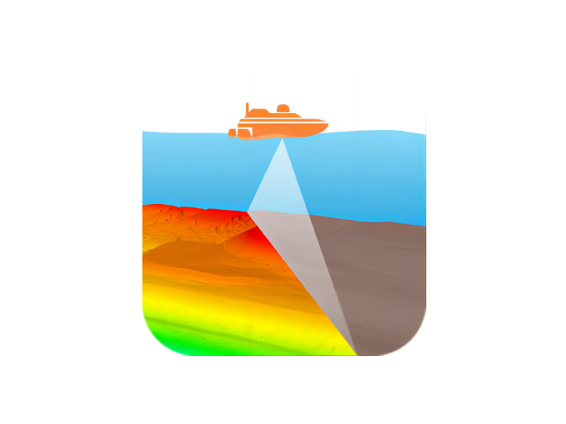
CMS Multibeam Acquisition and Post-Processing Software
Model:Content Management System
The CMS multibeam acquisition and post-processing software suite includes two applications: data acquisition and data post-processing. It supports integration with nearly all positioning systems, motion sensors, compasses, and multibeam echosounders. Its powerful survey line planning feature enables real-time dynamic visualization of underwater terrain coverage through both 3D and 2D views, offering an intuitive and user-friendly experience.
Specifications
Product Features
Supports real-time underwater terrain coverage generation, real-time ray bending correction, and automatic filtering.
Supports multi-view synchronized real-time updates, customizable real-time navigation data, and real-time 3D modeling.
Equipped with helmsman navigation and one-click line switching
Supports channel routing, area routing, semi-trailer routing, and fan-shaped routing modes.
Exports electronic charts, CAD drawings, navigation annotations, and 3D terrain.
Supports sensor delay calibration and sound speed profile calibration.
Supports Strip and Region cleanup modes for fast noise removal.
Use Cases
Marine Surveying
Underwater Topographic Survey
Channel Survey
Offshore Engineering
Related Products
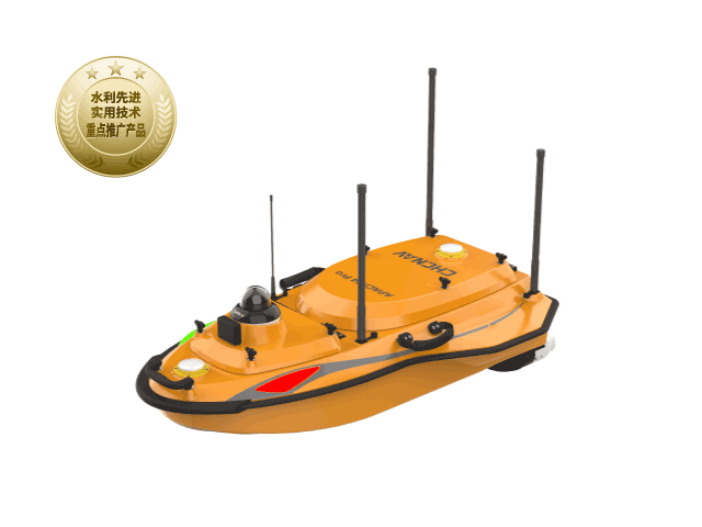
HuaWei 4 Pro Unmanned Surface Vehicle
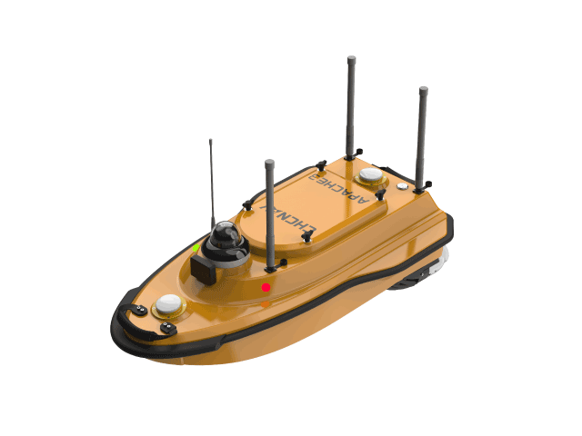
Huawei Autonomous Survey Vessel 3
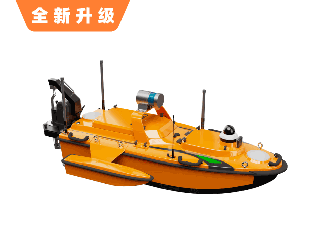
Huawei Autonomous Survey Vessel 6
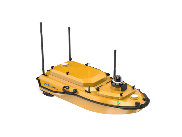
Huawei 4 Hydrographic Survey Vessel
Want to learn more?
Our professional team at CHC Navigation provides one-on-one consulting services.