
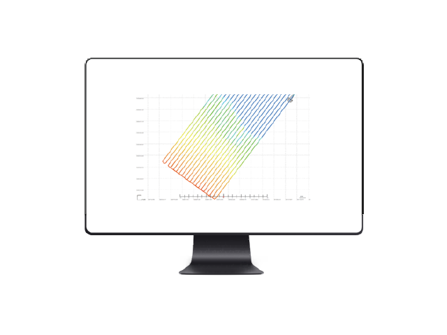
Qinsy Multibeam Software
Model:Qinsy
Qinsy is a powerful yet easy-to-use multibeam software developed by QPS, the Netherlands. It supports both multibeam and single-beam surveys and is compatible with Windows 7/Windows 8/Windows 10. Features include Qinsy data acquisition and Qimera post-processing.
Specifications
Product Features
Supports various sensor types, including GPS receivers, tide gauges, multibeam echo sounders, and POS MV GNSS systems.
Attitude, multibeam, RTK, compass installation angle corrections
Features include ASCII and image profile output, real-time 3D terrain visualization, data playback, and multibeam calibration.
Support strip editing, slice editing, and 3D point cloud editing
Supports import and processing of post-processed navigation data from PosPac Sbet, Seatex, and others.
Supports automatic water depth filtering and analysis of abnormal water depth fluctuations.
Seamless 2D/3D view switching
Use Cases
Marine Surveying
Underwater Topographic Survey
Channel Survey
Port Engineering Surveying
Related Products
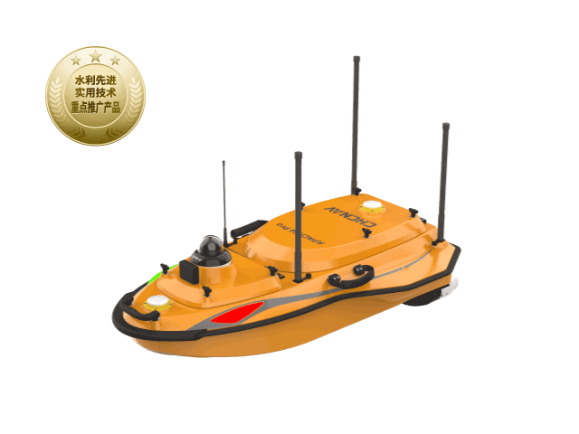
HuaWei 4 Pro Unmanned Surface Vehicle
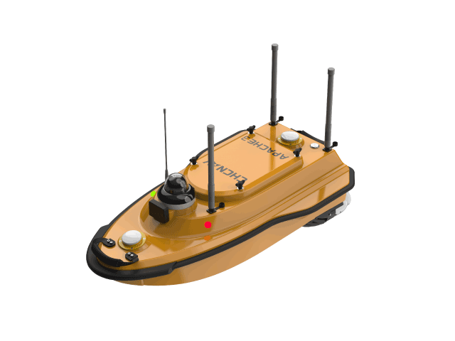
Huawei Autonomous Survey Vessel 3
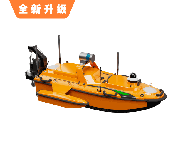
Huawei Autonomous Survey Vessel 6
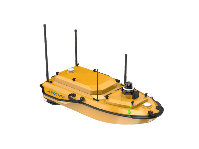
Huawei 4 Hydrographic Survey Vessel
Want to learn more?
Our professional team at CHC Navigation provides one-on-one consulting services.