
CHCNAV UAV
Aerial Surveying and Industry Inspection Drone Platform
AboutChinasoft Navigation
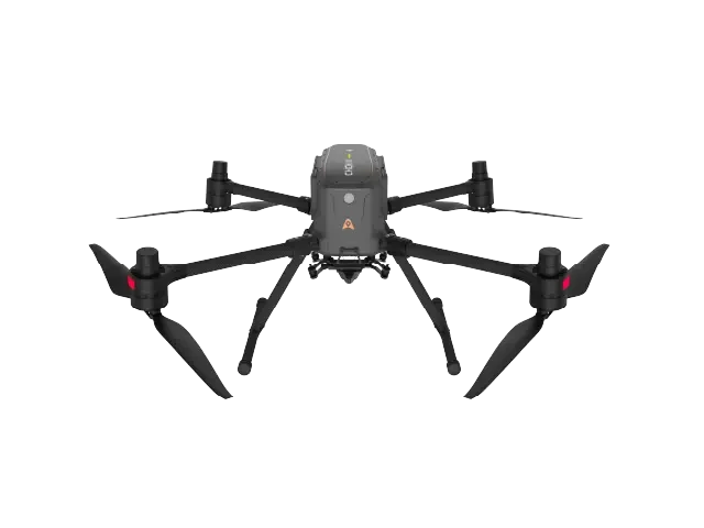
China Navigation focuses on core high-precision navigation and positioning technologies. We provide multirotor and VTOL fixed-wing drone platforms for aerial surveying and industrial inspection, integrated with self-developed orthophoto/inclined cameras, LiDAR scanning systems, and 3D data processing software. Our solutions serve land surveying, real-world 3D modeling, power grid inspection, and emergency disaster relief scenarios.
- Choice of multirotor and VTOL fixed-wing platforms
- High-precision RTK positioning and ground-control-free aerial surveying capabilities
- Supports multiple payloads, including aerial survey cameras and LiDAR scanners.
Provided by Huaying Technology Co., Ltd.Chinasoft NavigationInquiries, solution design, and bulk supply support for the full product line. Prices are subject to quotation.
Need forChinasoft NavigationDevice Selection
Our technical team will provide equipment selection, payload configuration, and bulk supply support tailored to your operational scenarios and budget.