Surveying, Mapping and Geographic Information · Surveying and Geomatics
Water and Underwater Surveying
Surface navigation, underwater imaging
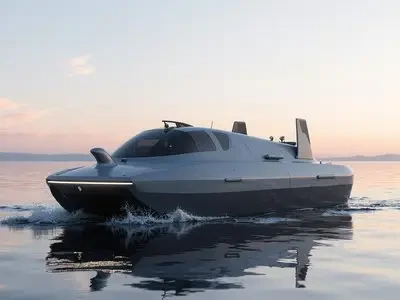
An unmanned surface vessel equipped with depth-sounding and positioning sensors collects underwater topography data, while an underwater robot performs close-range inspections of key areas. The results are integrated with shoreline data to generate a complete survey map.
Solution Components
What's included in this plan?
Use Cases
Deliverables
- Survey Area and Flight Line Division
- Device Calibration
- Underwater Terrain Results
- Technical Summary Report
Implementation Path
From a single point to an entire area
STEP01
On-site Requirement Confirmation
Confirm the locations, quantities, and existing system status for scenarios such as reservoirs and lakes, ports and waterways, bridge piers, and dams.
STEP02
Inventory and Configuration
Output a table listing model numbers, quantities, installation locations, and interface mappings to clearly identify add-ons and optional configurations.
STEP03
Implementation and Integration
Complete installation, configuration, and system integration per the "Deliverables" section, retaining all debug logs.
STEP04
Training and Handover
On-site training and daily maintenance, including account handover, configuration documentation, and spare parts list.
Competitor Solutions
Surveying, Mapping and Geographic InformationRest of the industry2package
Real-world 3D and Oblique Photography
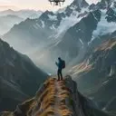
A five-lens oblique camera mounted on a multi-rotor platform captures images from multiple angles. Aerial triangulation generates real-world 3D models and orthophotos, with optional output of DSMs and individual building models.
View plan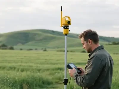
High-Precision Engineering Surveying
RTK and total stations complete control surveying and construction staking; 3D scanners capture existing structural surfaces, with results directly importable into design software for collision detection.
View planNeed a cross-industry portfolio? ViewAll Solutionsor directlyContact Us。